
Palmerston Highway (Innisfail - Ravenshoe) strategy upgrade, planning
The Queensland Government has completed a study to plan improvements for the Palmerston Highway between Belvedere and Millaa Millaa.
As a result of this study, a detailed upgrade strategy has been created. This strategy lists short, medium and long-term projects aimed at making the highway safer and more reliable for everyone who uses it.
Benefits
- Improves safety
- Increases capacity
- Improves network efficiency
Key features
The study:
- assessed current deficiencies, existing constraints, and future risks
- identified and prioritised value-for-money projects to deliver the above benefits.
Construction of identified upgrades is currently unfunded.
Funding
The $1.25 million project was fully funded by the Queensland Government under the Transport System Planning Program. Investment ID 1902301
- Total investment
- $1.25 million
- Queensland Government
- $1.25 million
Current Status
An upgrade strategy for the Palmerston Highway has been completed.
Key findings and challenges included:
- Geotechnical stability – sections of the highway are prone to fractures resulting in slips that can impact road safety and connectivity.
- Pavement condition – some sections showed signs of wear and tear. Defects such as potholes, cracked surfaces and damaged shoulders were identified.
- Road alignment – the highway is characterised by a narrow and winding road environment, constrained by topographic and environmental constraints, particularly on those sections passing through Wet Tropics World Heritage Area.
- Heavy vehicles – there is significant freight traffic with heavy vehicle usage peaking at 23 per cent on some sections.
- Signage and line marking – signage and line marking needs upgrading on some sections.
- Roadside hazards – were identified for removal or requiring protection strategies such as roadside safety barriers to minimise the severity of potential crashes.
- Overtaking opportunities – more overtaking lanes are required as traffic volumes increase.
Short, medium and long-term upgrades identified included:
Short-term (0-5 years)
- upgrade line marking and signs
- upgrade existing, and install new, variable message signs
- improve safety barriers and hazard protection
- slope stabilisation
- new heavy vehicle facilities (rest area and inspection sites)
- rural intersection activated warning signs
- pavement strengthening.
Medium-term (5-15 years)
- wide centre line treatments
- new overtaking lanes
- intersection upgrades
- environmental projects
- further slope stabilisation works.
Long-term (>15 years)
- additional wide centre line treatments
- additional overtaking lanes
- further intersection upgrades
- Bruce Highway intersection upgrade.
Palmerston Highway project map
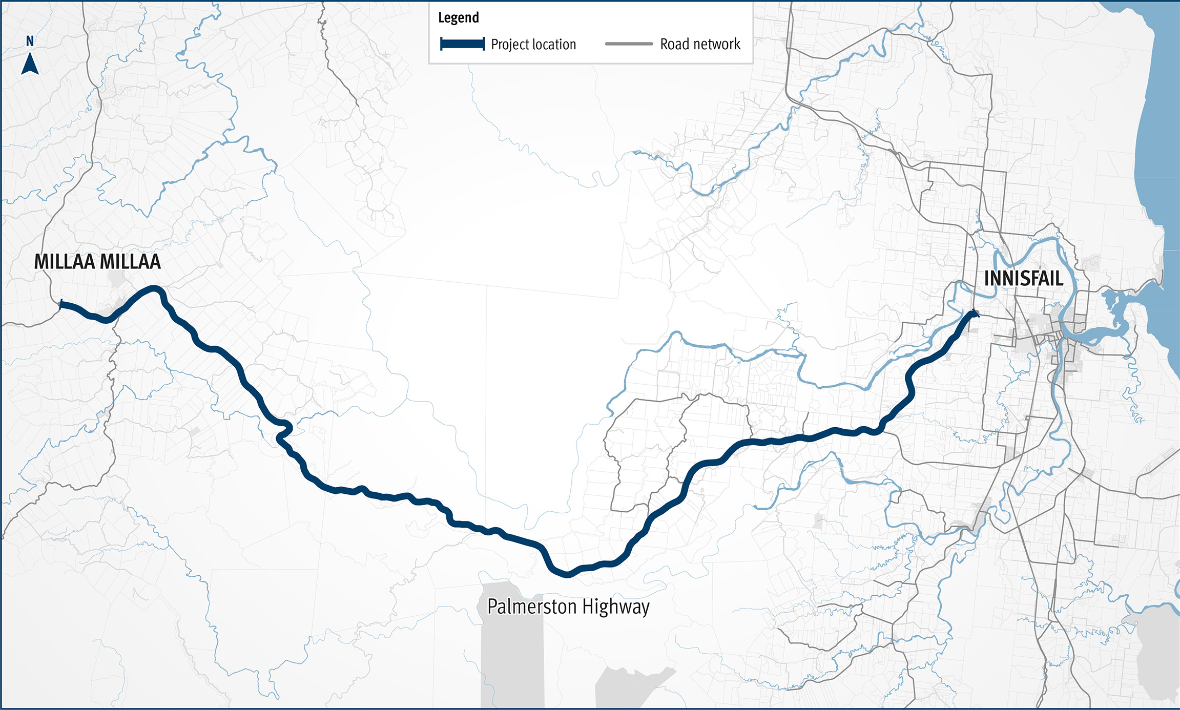
This is a map of Palmerston Highway starting near Innisfail in the east to Millaa Millaa in the west.
Next steps are to seek funding for the prioritised short-term actions.
As challenges and opportunities evolve, the strategy will be updated, to ensure it provides adequate levels of road safety, network connectivity, network resilience, transport efficiency and traffic flow capacity, and provides for road freight and heavy vehicle transport requirements and sustainable development. This ensures the Palmerston Highway continues to meet the dynamic needs of the North Queensland region.